Tag Archive for: echo park maps

This!

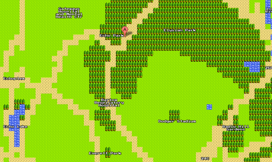
Google maps screenshot

It might only be March 31, but tomorrow is April Fool’s Day and Google has transformed its interactive maps into an 8-bit video gamer’s dream. Along with the retro maps, there’s a video about how they’ll be releasing a NES on those old-school cartridges. If only! Apparently there’s even monsters and Easter eggs, but Echo Park (shown in 8-bit above) seems to be in the clear. However, landmarks like Dodger Stadium, The Echoplex, The Park, and others are still indicated on the map.
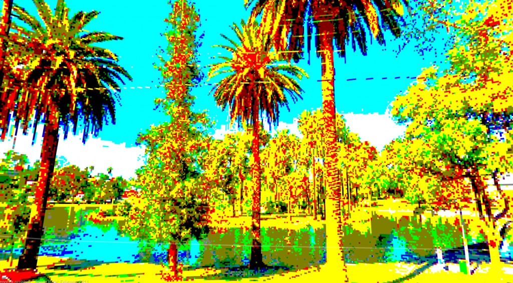
8-bit street view of Echo Park Lake (before construction, of course)

All you have to to is click “Quest” in the upper right hand corner (by the Earth and Satellite options) to view the 8-bit format. To explore more, check out the street view! The above screenshot of Echo Park Lake reminds me of the old Sierra computer games from the ol’ days.

h/t Mike Fisher

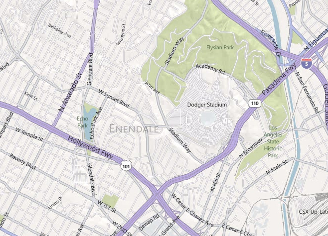
Bing Maps has us scratching our heads when we searched for our Echo Park neighborhood. Is “Enendale” code for something? Last we checked the historical name for the area is Edendale, but even that isn’t really used. Does Bing know something we don’t know…?

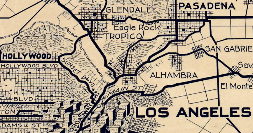
Automobile Club of Southern California

It’s always interesting to find some historical pieces of Los Angeles on the big Internet, this one comes from Big Map Blog. It’s a 1915 road map of the entire Southern California area, commissioned by the Automobile Club of Southern California. And it’s a pretty big map – so we’ve zoomed in on the Echo Park area to show you our little area almost 100 years ago. Funny thing is, if you compare this map with a current-day Google map, it doesn’t look a whole lot different. But the landscape sure is: what was once a bunch of fields and open space now is one of the city’s most populated areas.

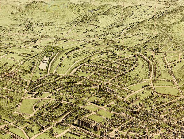
Another interesting map from the same blog – credited to Birdseye View Pub. Co.’s – of the Los Angeles area circa 1909. Incredible detail on this one – here’s the zoomed in version on Echo Park below:

Birdseye View Pub. Co.'s birdseye map of Los Angeles, California in 1909.

Both very, very large maps are made available for download on the Big Map Blog. See if you can find your house!

This is a really cute commercial/advertisement featuring the Fallen Fruit guys on their search for public fruit in Echo Park. Though not all of the shots are Echo Park itself, you can see them building the map of Fallen Fruit in Echo Park using social media and other technologies, specifically this “Samsung Galaxy Tab” device and what looks to be similar to the iPad.

While we haven’t find the Echo Park map on the Echo Park map on the Fallen Fruit website yet, we’re sure it will pop up soon. Based on an old map it had a while back (click here to view that map) we started a while back creating a map of our own. Some items may be outdated, and we are slowly building more of the map, but that’s why you’re going to let us know if we’ve missed anything using the comments field below.

View Echo Park Fallen Fruit Trees in a larger map