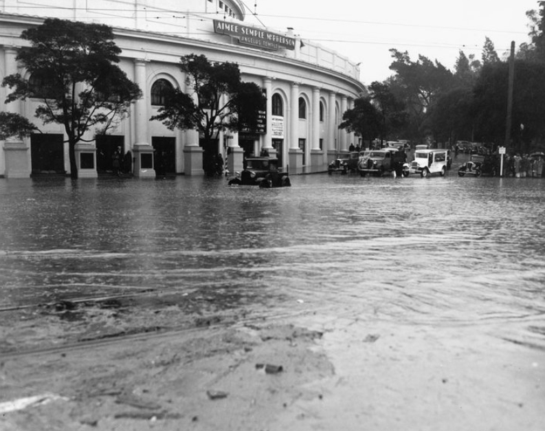
Unknown date, possibly late 1930s. Source: Paul Furlong

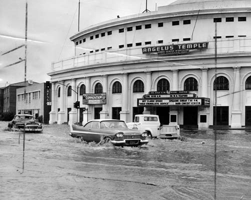
More flooding in 1959. LA Public Library image #28410
We’re trying to piece together little bits of history surrounding photos like one shown above – flooding along Glendale Blvd. at Park Avenue was extremely common prior to the paving of the Los Angeles river. But how all that water got to Echo Park (remember, this is prior to all flood control in Los Angeles) is actually an interesting story.
The story starts with a buried river called the Arroyo de los Reyes, which originates off of Glendale Blvd. near the 2 terminus. It flowed down Glendale, to where Echo Park Lake now is, and into downtown down 2nd Street where it ends up just south of Pershing Square and eventually connecting to the LA River (Source: LA Creek Freak).
So it makes sense this area would be more susceptible to flooding – when it really, really rains, the creek/river would swell, and so on and so forth. We’re not sure exactly when the river was buried or why exactly it no longer floods Echo Park, perhaps due to being buried, but it might also have to do with the storm drain and flood control in the late ’30s, early ’40s.
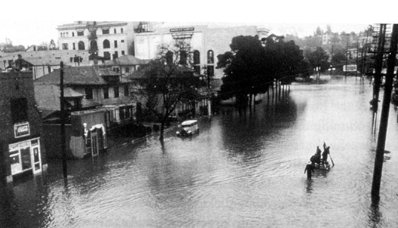
The photo to the bottom right is a pretty severe flood on Glendale Boulevard during the Los Angeles Flood of 1938, caused by a couple of storms from the pacific and killing over 100 people and $40 million in damage.

Glendale Blvd., Feb 1938. Photo source: Paul Furlong
These floods, especially the 1938 one, prompted the Flood Control Act of 1941, and thus the construction of mandatory storm drains and flood control channels. This, of course, means the Los Angeles River was paved to help control future flooding.
Looking at these pictures, it seems like a good idea to have some flood control in Los Angeles. But the paving of the LA River is more and more criticized as being a misguided effort because it interferes with, well, the natural flow of things. There are some green movements to help the River filter out pollution and revitalize the river overall, you can learn a lot about lost rivers and creaks through the LA Creek Freak blog and the Friends of the LA River.
