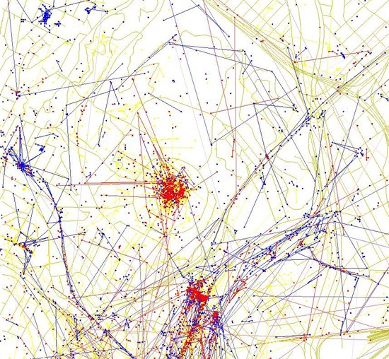
You may or may not know that when you upload your photo(s) on Flickr, you can “geo-tag” them, providing a location for each photograph. Photographer Eric Fischer has taken the geo-tagged information and turned it into maps that indicate tourists that have posted photos (the red lines and dots) versus the locals (the blue lines and dots). The resident photos are determined by those who posted photos in the city “dated over a range of a month or more,” while the tourists are “people who seem to be a local of a different city and who took pictures in this city for less than a month.” The yellow dots and lines are those who can be either tourist or a resident, and it couldn’t be determined which was which.
The map above shows a zoomed-in view of the “Los Angeles and Pasadena” map. Quite a few tourist shots going on there! Click on the map to view the full map and more of Eric Fisher’s geo-tag maps for other parts of Los Angeles.
Also – shoutout to LAist for its article today on the maps!

