via Big Map Blog
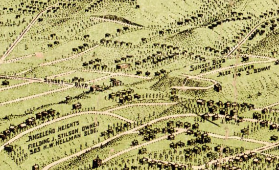
Yes, we love maps – especially old ones of Echo Park and Los Angeles. The latest publication on the Big Map Blog is a nice display of Los Angeles circa 1903, so we zoomed in nice and close on Echo Park (of course!).
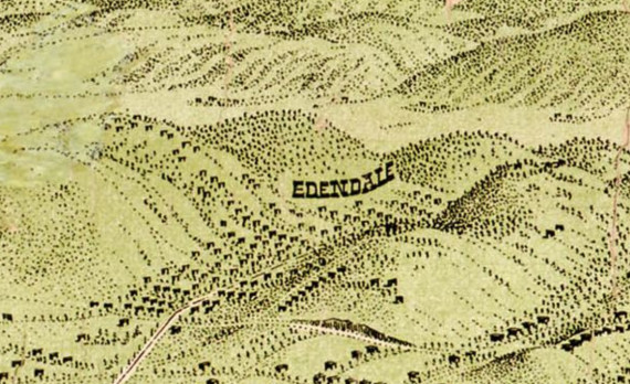
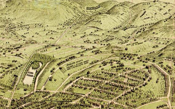
The map shows a sprinkling of homes with lake views and some in “Angeleño Heights,” as well as neighborhood by the name of Sunset Blvd Heights on what appears to be Laveta Terrace (near now Scott Avenue/McDuff Street), and current-day Glendale Boulevard going north into Edendale.
On the Big Map Blog website you can zoom in and out while scrolling through Los Angeles, all centered around a surprisingly well-developed Downtown.
h/t CurbedLA