Tag Archive for: Maps

Yes, we love maps – especially old ones of Echo Park and Los Angeles. The latest publication on the Big Map Blog is a nice display of Los Angeles circa 1903, so we zoomed in nice and close on Echo Park (of course!).

The map shows a sprinkling of homes with lake views and some in “Angeleño Heights,” as well as neighborhood by the name of Sunset Blvd Heights on what appears to be Laveta Terrace (near now Scott Avenue/McDuff Street), and current-day Glendale Boulevard going north into Edendale.

On the Big Map Blog website you can zoom in and out while scrolling through Los Angeles, all centered around a surprisingly well-developed Downtown.

h/t CurbedLA

EchoPark-1903map2

EchoPark-1903map-edendale

CD13 shown in grey, the red areas are "lost" to CD1 (Click map to download the full PDF)

New maps uploaded to the Los Angeles redistricting website show a much different redistricting plan for Echo Park’s CD13 and CD1 map lines than previous proposals. And, according to the LA Times, the redistricting commission approved the new maps last week, which means the proposal will head to the City Council fore review next month.

While a lot of the redistricting news has been focused around Koreatown, here in Echo Park there are some minor changes that might be a hot button issue for residents as well as the upcoming council district elections in 2013. GEPENC president Jose Sigala (also in the running for City Council in District 13) expressed on the Echo Elysian Neighborhood Council Forum his concern that the Echo Park Farmers’ Market will be no longer be in CD13, and is asking everyone to sign his online petition.

Whatever happens, it’s all about politics. It doesn’t look like Echo Park will be combined into one council district, and will continue to be divided into council district 13 (currently Eric Garcetti) and council district 1 (currently Ed P. Reyes).

Bing Maps has us scratching our heads when we searched for our Echo Park neighborhood. Is “Enendale” code for something? Last we checked the historical name for the area is Edendale, but even that isn’t really used. Does Bing know something we don’t know…?

Automobile Club of Southern California

It’s always interesting to find some historical pieces of Los Angeles on the big Internet, this one comes from Big Map Blog. It’s a 1915 road map of the entire Southern California area, commissioned by the Automobile Club of Southern California. And it’s a pretty big map – so we’ve zoomed in on the Echo Park area to show you our little area almost 100 years ago. Funny thing is, if you compare this map with a current-day Google map, it doesn’t look a whole lot different. But the landscape sure is: what was once a bunch of fields and open space now is one of the city’s most populated areas.

Another interesting map from the same blog – credited to Birdseye View Pub. Co.’s – of the Los Angeles area circa 1909. Incredible detail on this one – here’s the zoomed in version on Echo Park below:

Birdseye View Pub. Co.'s birdseye map of Los Angeles, California in 1909.

Both very, very large maps are made available for download on the Big Map Blog. See if you can find your house!

The LA Times recently added a new facet to the website’s mapping project – a detailed map of daily crime reports for cities and neighborhoods that allows “users to analyze crime statistics, search historic crime patterns and receive alerts when several crimes occur in an area over a short period of time.”

The LA Times maps use data from the LAPD and the Sherriff’s Department to create report for cities and neighborhoods. This map comes after the LA Times criticized the LAPD crime map database for having quite a few errors that led to serious misinterpretations of crime data. Some time since the publication of the LA Times crime map, the LAPD crime map page says the following:

The Los Angeles Police Department’s Crime Map page is currently undergoing technical renovations in preparation for a new crime mapping system which will include expanded crime data from adjacent agencies, and will accommodate our growing viewer data base. Until such time as the new crime mapping system is fully functional, you may view Part One crime data provided to the Los Angeles Times by the Los Angeles Police Department at http://projects.latimes.com/mapping-la/crime/. We apologize for any inconvenience during this process and thank you for your patience and understanding.

No word on whether or not (and when) the map will be functional again on the LAPD website, but for now you can click on the map image above to scroll through the crime data for Echo Park. It’s supposed to be updated daily, so keep an eye out on the map and see if you can tell if everything’s being reported.

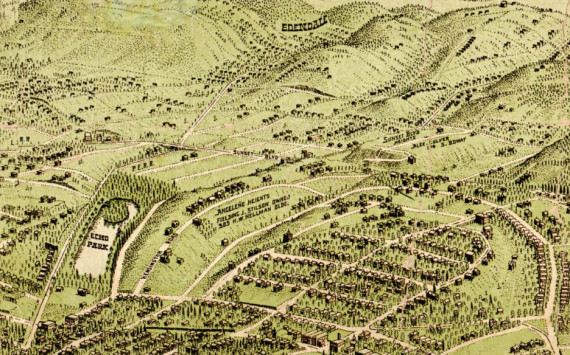
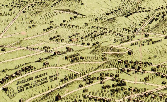
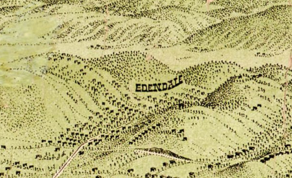
Authors note: the Echo Park map does not include the greater Echo Park/Elysian Park and Historic Filipinotown areas that many residents consider to be Echo Park boundaries. To learn more about Echo Park boundaries, click here.

Photographer Eric Fischer was inspired by a Chicago map created by Bill Rankin that displayed the city’s racial and ethnic divides. He created maps of other cities like New York City, Houston, and Los Angeles using the same techniques Rankin did, applying date from the 2000 census. I took the Los Angeles map and zoomed in on the  Echo Park area. Red is White, Blue is Black, Green is Asian, Orange is Hispanic, Gray is Other, and each dot equals a total of 25 people. For some perspective, the little empty round area near the middle of the above graphic is Dodger Stadium.

You can check out the rest of the Los Angeles map by clicking here or on the image below. You’ll notice… there are a lot of white people on the west side!

Photo by Eric Fischer via Flickr

You may or may not know that when you upload your photo(s) on Flickr, you can “geo-tag” them, providing a location for each photograph. Photographer Eric Fischer has taken the geo-tagged information and turned it into maps that indicate tourists that have posted photos (the red lines and dots) versus the locals (the blue lines and dots). The resident photos are determined by those who posted photos in the city “dated over a range of a month or more,” while the tourists are “people who seem to be a local of a different city and who took pictures in this city for less than a month.” The yellow dots and lines are those who can be either tourist or a resident, and it couldn’t be determined which was which.

The map above shows a zoomed-in view of the “Los Angeles and Pasadena” map. Quite a few tourist shots going on there! Click on the map to view the full map and more of Eric Fisher’s geo-tag maps for other parts of Los Angeles.

Also – shoutout to LAist for its article today on the maps!

Laveta Stairway

With over 20 stairways around Echo Park, who needs a stairmaster? Now that the weather has warmed up, it’s time to get in shape!

With the help from the Echo Park Stairways PDF map from the Echo Park Historical Society, as well as from a website called Community Walk which has a map of Los Angeles Stairways (not all Echo Park stairways are listed on there, but there are a ton of spots around all of L.A.), we have put together this nice Echo Park Stairways map just for you:


View Echo Park Stairways in a larger map

This was, of course, before we discovered the Echo Park Historical Society’s interactive Google map of the Echo Park Stairways, which you can always check out here (we were having some technical difficulties sharing and embedding the map within our site).

Remember to wear comfortable shoes and sunscreen!

Fallen Fruit Map

Fallen Fruit Map

The folks at Fallen Fruit want us to know that you don’t always have to pay for your produce. There is a bevy of edible goodies just waiting to be harvested right here in Echo Park. So here is the deal: fruit from trees that are on public land or on branches that hang over public spaces are fair game! Home owners generally seem pretty happy to share as one tree can produce way too much fruit for one home. This way you eat fruit that may have otherwise have gone bad and save yourself a little coin. After all, times are tough. You have to make that lemonade with something.

Here is what their website says about the project:

“Public Fruit” is the concept behind the Fallen Fruit, an activist art project which started as a mapping of all the public fruit in our neighborhood. We ask all of you to contribute your maps so they expand to cover the United States and then the world. We encourage everyone to harvest, plant and sample public fruit, which is what we call all fruit on or overhanging public spaces such as sidewalks, streets or parking lots.

We believe fruit is a resource that should be commonly shared, like shells from the beach or mushrooms from the forest. Fallen Fruit has moved from mapping to planning fruit parks in under-utilized areas. Our goal is to get people thinking about the life and vitality of our neighborhoods and to consider how we can change the dynamic of our cities and common values.

-Fallen Fruit is David Burns, Matias Viegener, and Austin Young

Visit Fallen Fruit for more info and fruit maps.

UPDATE:

We have also created an interactive fruit map based on the above image, click here to view!